Image Intelligence (IMINT)
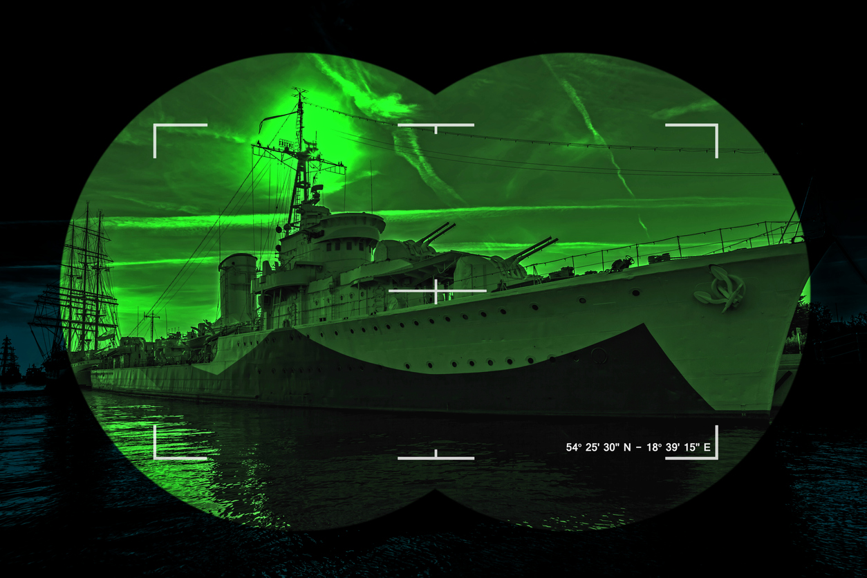
Image intelligence (IMINT) is obtained from the electro-optical and infrared sensors and from synthetic aperture radars (SAR), possibly capable of detecting moving targets.
This information synthesized with the information coming from SIGINT is always the base for any situational assessment; this synthesis (or Data Fusion) feeds the “intelligence loop” (research, exploitation, dissemination, orientation) in three life-cycle areas:
-
Acquisition of documentation, whose refreshment can be several months or more.
-
Situation data, which includes strategic, operational and tactical with a periodicity of weeks/days.
-
Combat intelligence with a cycle of no more than 24 hours.
Regardless of the level at which the intelligence is located, none of the origins is exclusive to the others because each system enriches the information and helps to remove doubt about an interpretation.
IMINT often makes a decisive contribution to the autonomous assessment of situations.
Intelligence relies heavily on observation, which can be broken down into surveillance (systematic and permanent) whose coverage area may vary and in reconnaissance (directly related to operations or even precursor to a strike).
Imaging can account for a situation, the evolution of the situation, accurately locate targets (“targeting”), assess the associated risks with a possible strike in terms of collateral damage, and the effectiveness of an action undertaken (e.g. through the assessment of combat damage).
As such, beyond its military interest, it is an indispensable source of decision-making by political power.
Beyond reliability, confidentiality and permanence, the existence of military satellites is justified by their performance, which is generally far superior to that of civilian satellites and more suited to the operational needs of the military.
The first of these performances, but not the only one as we often tend to consider it, is the resolution that characterizes the sharpness of the image and the ability to identify objects.
Resolution is the measurement of the projected distance on the ground and vertically between two of the satellite’s basic detectors.
The maximum theoretical resolution corresponds to the ground size of each pixel in the image.
The resolution of civilian satellites is greatly improving.
However, few of them still reach critical thresholds for the observation of military equipment.
Detection distinguishes an object or phenomenon that may have a military interest (an aircraft), recognition can determine its nature (a bomber aircraft) and possibly its class or type, while identification allows individualization of objects belonging to the same class.
The effectiveness of a satellite system image is not depending only on resolution but also on time and space allocations to be fully exploited by military users.
Precise dating of the image is essential to situate the scene in a chronological evolution and to draw early lessons compared to other older shots.
The precise knowledge of solar time allows, from an appropriate treatment of the shadows cast, to evaluate the height of buildings or equipment and to contribute to their identification.
The date of the shot, correlated with the navigation data of the platform, allows obtaining a first location of the image; geo-referencing, i.e. the determination of the position of each of its pixels in a selected geographical repository is essential for its military use.
As a result, the location function of imaging devices makes a decisive contribution to the current process of digitizing military geographic data.
Autonomous targeting capability is of fundamental importance.
No maritime, land or air vector is usable without prior target determination.
The autonomy of ownership of a national cruise missile does not correspond to any national autonomy of use if the definition of its targets depends entirely on another country.
To be able to define, sort, and choose your own targets means to choose one’s strategy, which means to choose one’s policy.
Not having this autonomous capability would mean giving up all political freedom in the event of a crisis and would make it unnecessary to invest in weapons that would simply serve the nation that defines military targets.
Four types of vectors can be considered for IMINT applications:
-
The main vector is historically the aircraft and the Air Forces traditionally include a piloted component dedicated to reconnaissance.
There are either aircraft dedicated to this type of mission, or multi-mission aircraft capable of reconnaissance, with internal equipment or specialized pods. -
The second vector is the satellite, which provides continuous intelligence, with very high-resolution sensors, optical or radar.
-
The third vector is the helicopter that relies on sophisticated radar that detects moving objects by eliminating fixed echoes.
-
An emerging type of carrier is the drone, unmanned vehicle, whose flight is pre-programmed or remotely controlled or mixed.
An increase in sensors types and an improvement in their performances goes in parallel with the diversification of vectors.
Three types of sensors can be considered for IMINT applications:
-
Optical sensors provide easily usable images subject to the fineness of their resolution.
However, they are limited to day use and in favourable weather conditions, as clouds are an impassable obstacle for an optical sensor. -
Infrared sensors provide a night vision and detection capability for current or recent activity that causes thermal radiation.
Although less naturally readable than an optical image, the infrared image has analogies with it and its interpretation by trained personnel does not present major difficulties.
The fusion of images obtained in the visible and infrared allows for two-dimensional rendition, the objective being three-dimensional restitution.
Like visible optics, infrared is stopped by cloudiness and mist. -
Radar sensors have the advantage of providing data day and night and regardless of weather conditions.
In the current state of the art, the main interest of radar lies, in addition to its conditions of use, in its ability to detect metal objects (fences, pylons) and to detect changes between shots.
Emerging sensors are the advanced multispectral or hyperspectral sensors that work on a large amount of bands of the electromagnetic spectrum by delivering a mass of information about the matter and radio signatures of objects. This type of sensor that delivers a data fusion image requires very important information processing capabilities (signature database).
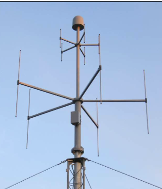
![Passive Direction Finding [DF] Techniques – Phase Comparison](https://www.emsopedia.org/wp-content/uploads/2021/04/iStock-545810334.jpg "Passive Direction Finding [DF] Techniques – Phase Comparison")

")